

Maps apps, ride-hailing services and food delivery all depend on knowing exactly where you are. That magic comes from satellite navigation, most famously the Global Positioning System (GPS).
A network in space
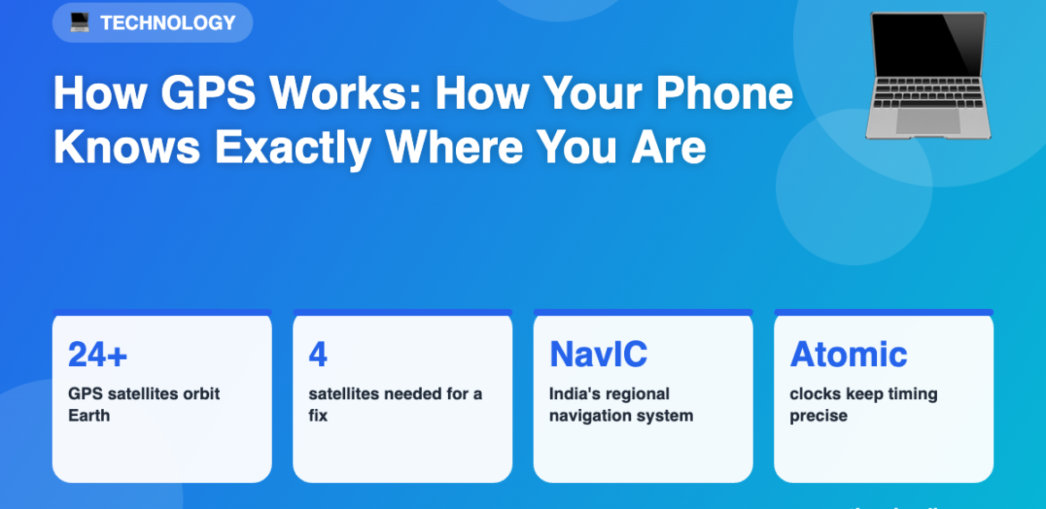
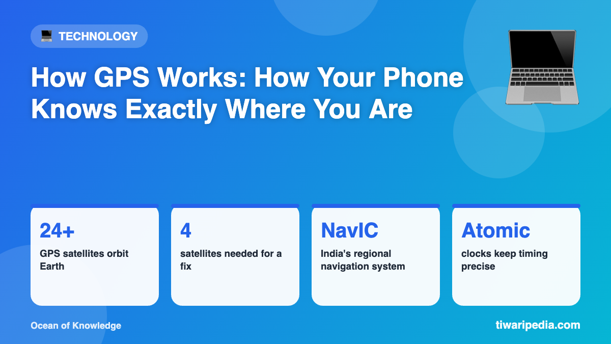
GPS is run by the United States and uses a constellation of at least 24 satellites orbiting about 20,000 km above Earth. They are arranged so that several are visible from almost anywhere on the planet at any time.
Satellites broadcast time signals
Each satellite carries extremely precise atomic clocks and continuously broadcasts a signal saying who it is, where it is, and exactly what time the signal was sent.
Your phone measures distance
Your phone’s GPS receiver picks up these signals. Because radio signals travel at the speed of light, the receiver can calculate how far away each satellite is from the time the signal took to arrive.
Trilateration: finding the spot
- Knowing your distance from one satellite places you somewhere on a giant sphere.
- A second satellite narrows it to a circle where two spheres meet.
- A third satellite narrows it to two points.
- A fourth satellite corrects tiny errors in your phone’s clock and pins down your exact position, including altitude.
Why is my location sometimes wrong?
Tall buildings, tunnels and dense trees can block or bounce signals. Phones improve accuracy using mobile towers and Wi-Fi networks, a system often called assisted GPS.
Other navigation systems
- NavIC (India): developed by ISRO, it covers India and the surrounding region.
- GLONASS (Russia), Galileo (Europe) and BeiDou (China).
Many modern phones use several systems together for faster and more accurate positioning.
Einstein in your pocket
Because the satellites move fast and experience weaker gravity, their clocks tick at a slightly different rate from clocks on Earth, as predicted by Einstein’s theories of relativity. GPS must correct for this, or positions would drift by kilometres every day.