
The Himalayas form a giant wall of snow-capped peaks along India’s northern border. The name comes from Sanskrit: hima (snow) and alaya (abode), meaning “abode of snow”.
Where are they?
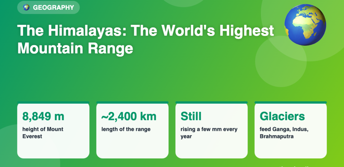
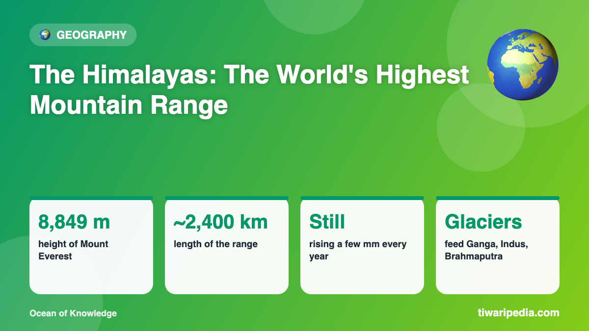
The range stretches about 2,400 km in an arc across five countries: India, Nepal, Bhutan, China (Tibet) and Pakistan. It includes the world’s highest mountains, with more than 50 peaks above 7,200 metres.
How were the Himalayas formed?
About 50 million years ago, the Indian tectonic plate, which had been drifting north, collided with the Eurasian plate. Neither plate could sink easily, so the land crumpled and pushed upwards, forming the Himalayas. Fossils of sea creatures have been found high in the mountains because the rocks were once on an ancient sea floor.
Still growing
The Indian plate is still pushing north, so the Himalayas continue to rise by a few millimetres each year. This movement also causes earthquakes in the region.
Famous peaks
- Mount Everest (Sagarmatha / Chomolungma): 8,849 m, the highest point on Earth, on the Nepal–China border.
- Kangchenjunga: the third-highest in the world and the highest in India, on the India–Nepal border.
- Nanda Devi: the highest peak located entirely within India.
The three ranges
- Greater Himalayas (Himadri): the highest, permanently snow-covered peaks.
- Lesser Himalayas (Himachal): home to hill stations like Shimla, Mussoorie and Darjeeling.
- Outer Himalayas (Shivaliks): the lowest foothills.
Why the Himalayas matter to India
- Water tower of Asia: their glaciers feed great rivers like the Ganga, Indus and Brahmaputra.
- Climate shield: they block icy winds from Central Asia and trap monsoon clouds, causing rain over the northern plains.
- Biodiversity: home to snow leopards, red pandas and rare medicinal plants.
- Culture and pilgrimage: sacred sites such as Kedarnath, Badrinath, Amarnath and Kailash Mansarovar.
Under threat
Rising temperatures are causing many Himalayan glaciers to shrink, which could affect water supplies for hundreds of millions of people downstream.